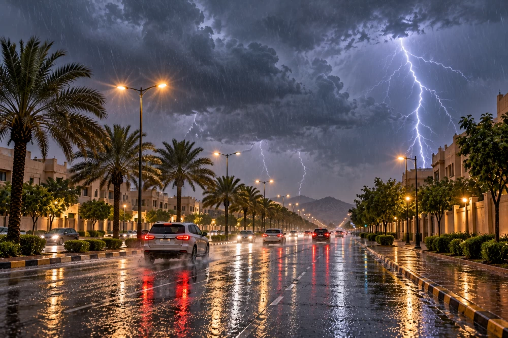
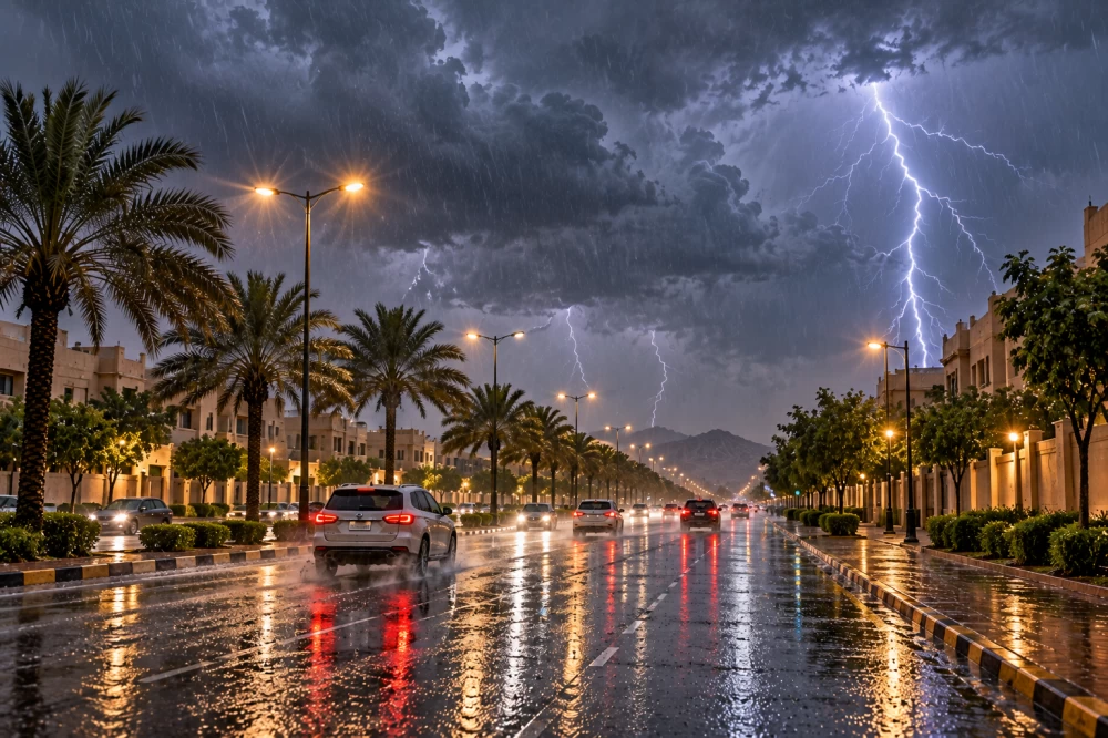
توقّع المركز الوطني للأرصاد في تقريره عن حالة الطقس اليوم (الخميس)، هطول أمطار رعدية مصحوبة بزخات من البرد ورياح نشطة مثيرة للأتربة والغبار على أجزاء من 9 مناطق في المملكة، تشمل جازان، عسير، الباحة، مكة المكرمة، المدينة المنورة، القصيم، حائل، الحدود الشمالية، والمنطقة الشرقية.
وأشار المركز إلى احتمال تكوّن الضباب على أجزاء من تلك المناطق.
البحر الأحمر
وأوضح التقرير أن الرياح السطحية على البحر الأحمر ستكون شمالية غربية إلى شمالية بسرعة 12 إلى 35 كيلومتراً في الساعة على الجزء الشمالي، وشمالية غربية إلى غربية بسرعة 10 إلى 32 كيلومتراً في الساعة على الجزء الأوسط، وجنوبية شرقية إلى شرقية بسرعة 12 إلى 38 كيلومتراً في الساعة على الجزء الجنوبي، تصل إلى 48 كيلومتراً في الساعة باتجاه مضيق باب المندب.
ويتراوح ارتفاع الموج بين نصف متر ومتر ونصف المتر على الجزأين الشمالي والأوسط، وبين نصف متر ومتر ونصف المتر على الجزء الجنوبي، ليصل إلى أكثر من مترين باتجاه مضيق باب المندب، فيما تكون حالة البحر خفيفاً إلى متوسط الموج، ويصل إلى مائج باتجاه المضيق.
الخليج العربي
وفي الخليج العربي، توقّع المركز أن تكون الرياح السطحية شمالية غربية إلى جنوبية غربية، تتحول بعد الظهيرة إلى شرقية وجنوبية شرقية بسرعة 12 إلى 38 كيلومتراً في الساعة، تصل إلى أكثر من 50 كيلومتراً في الساعة مع تكوّن السحب الرعدية الممطرة على الجزء الشمالي.
أما على الجزء الجنوبي، فتكون الرياح شمالية غربية إلى شمالية شرقية بسرعة 10 إلى 32 كيلومتراً في الساعة.
ويتراوح ارتفاع الموج بين نصف متر ومتر ونصف المتر، ويصل إلى أكثر من مترين مع تكوّن السحب الرعدية الممطرة على الجزء الشمالي، فيما يتراوح بين نصف متر ومتر ونصف المتر على الجزء الجنوبي، وتكون حالة البحر خفيفاً إلى متوسط الموج، ويصل إلى مائج مع تكوّن السحب الرعدية الممطرة.
The National Center of Meteorology expected in its weather report today (Thursday) that thunderstorms accompanied by hail showers and active winds stirring up dust and sand will occur in parts of 9 regions in the Kingdom, including Jazan, Asir, Al-Baha, Makkah, Madinah, Al-Qassim, Hail, the Northern Borders, and the Eastern Province.
The center indicated the possibility of fog formation in parts of those regions.
The Red Sea
The report clarified that the surface winds on the Red Sea will be northwesterly to northerly at a speed of 12 to 35 kilometers per hour in the northern part, northwesterly to westerly at a speed of 10 to 32 kilometers per hour in the central part, and southeasterly to easterly at a speed of 12 to 38 kilometers per hour in the southern part, reaching up to 48 kilometers per hour towards the Bab el-Mandeb Strait.
Wave heights will range between half a meter and one and a half meters in the northern and central parts, and between half a meter and one and a half meters in the southern part, reaching more than two meters towards the Bab el-Mandeb Strait, while the sea condition will be light to moderate, becoming rough towards the strait.
The Arabian Gulf
In the Arabian Gulf, the center predicted that the surface winds will be northwesterly to southwesterly, shifting after noon to easterly and southeasterly at a speed of 12 to 38 kilometers per hour, reaching over 50 kilometers per hour with the formation of thunderstorm clouds in the northern part.
As for the southern part, the winds will be northwesterly to northeasterly at a speed of 10 to 32 kilometers per hour.
Wave heights will range between half a meter and one and a half meters, reaching more than two meters with the formation of thunderstorm clouds in the northern part, while they will range between half a meter and one and a half meters in the southern part, and the sea condition will be light to moderate, becoming rough with the formation of thunderstorm clouds.